Glacial Landscapes Travelogue - Benjamin

Sunday, April 22, 2012

On the North side of the Interstate.
Also the North side, notice the tunnel large enough for big trucks!
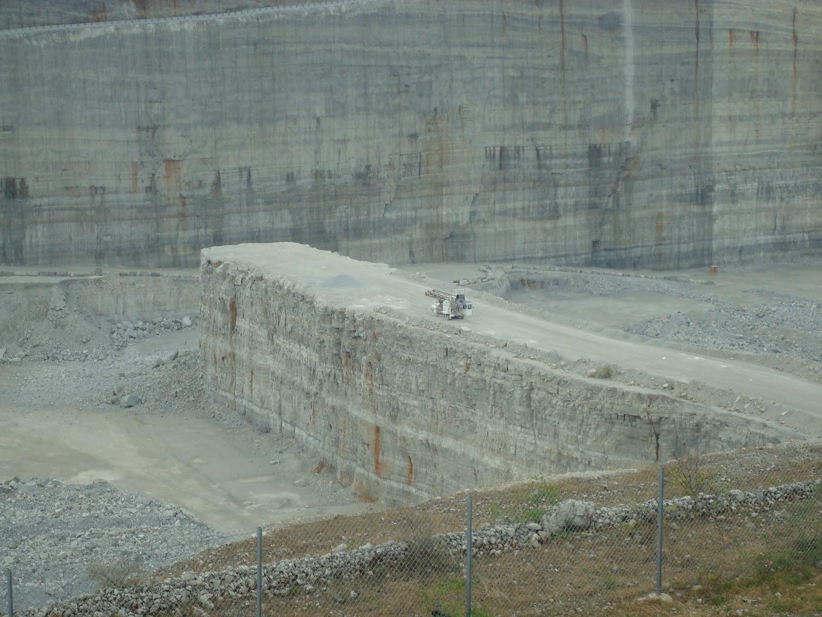
Gives a good idea of the actual size of the quarry.
Another angle of the first photo.
The zig-zagged ramps are how the trucks get in and out of the hole.
Notice in the bottom of the photo it seems as though the water table has been reached!
Posted by Benjamin Abbott at 3:52 PM
Email ThisBlogThis!Share to XShare to FacebookShare to Pinterest
Labels: Thornton Quarry
Location: Thornton Quarry, Thornton, IL 60476, USA

No comments:

Post a Comment

Newer Post Older Post Home
Subscribe to: Post Comments (Atom)

Blog Archive

  • ▼  2012 (16)
    • ▼  April (16)
      •  It is very refreshing to see some of the or...
      • This photo shows one of the largest known errat...
      •  This photo is of a farm field on the east side...
      •  This shows a little bayou just off the Kankake...
      •  There are many sand dunes near the lake but di...
      •  Still inside the LaSalle Fish and Wildlife Are...
      •  Kankakee River on the west side of...
      •  Photos taken from the North side of Rt 30 & In...
      • Calumet Shoreline
      • High Tolleston Shoreline
      • Thornton Quarry
      •  South side of the Interstate, photo taken from...
      • On the North side of the Interstate. Also th...
      • Covered in this blog will be a short round trip th...
      • This is my first blog of any kind so please be pat...

About Me

Benjamin Abbott
View my complete profile
Simple theme. Powered by Blogger.