Glacial Landscapes Travelogue - Benjamin

Sunday, April 22, 2012

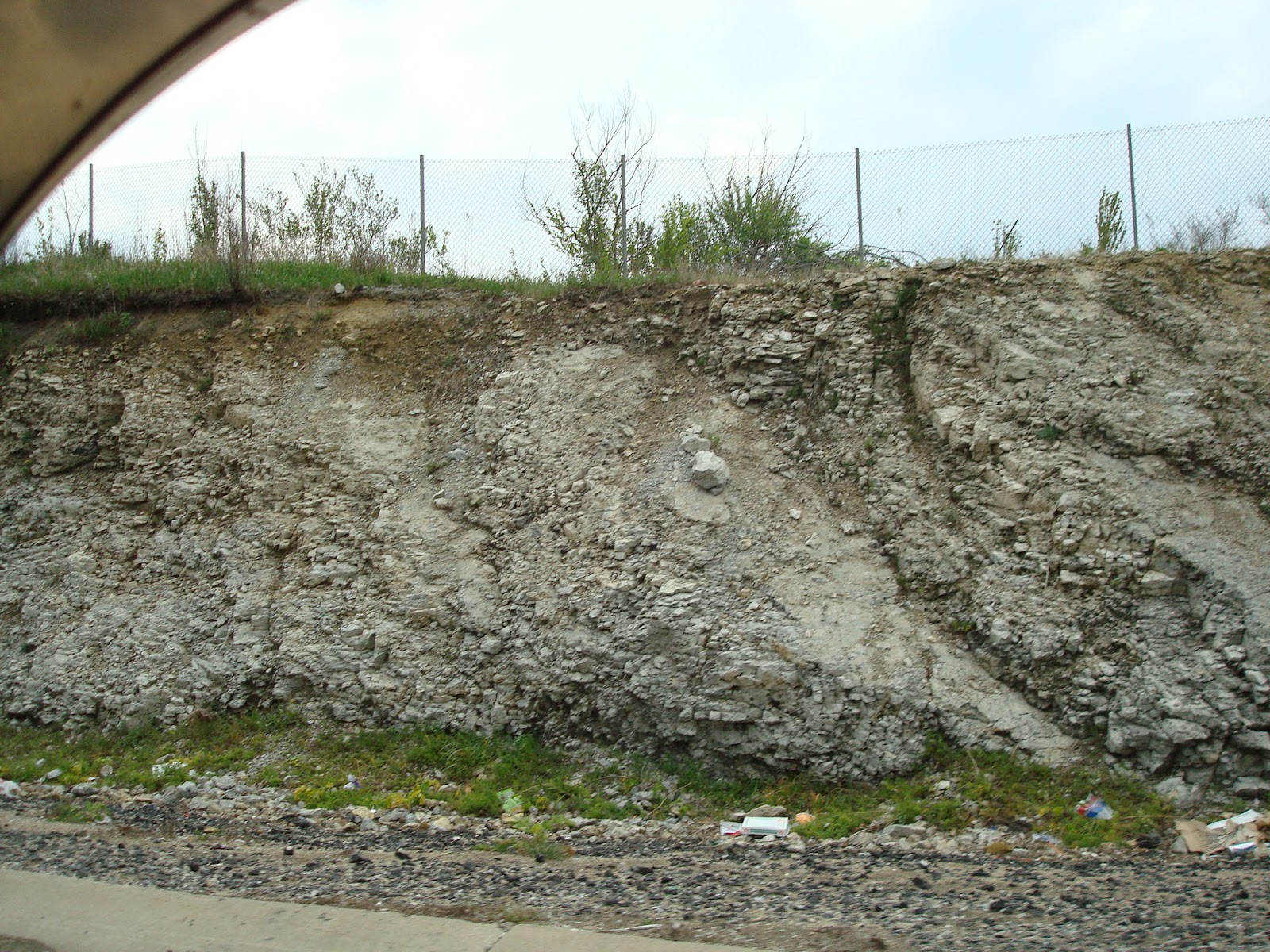
 South side of the Interstate, photo taken from the roadway.
These photos show some of the rock that this ancient coral reef has become.
Posted by Benjamin Abbott at 4:03 PM
Email ThisBlogThis!Share to XShare to FacebookShare to Pinterest
Labels: Thornton Quarry
Location: Thornton Quarry, Thornton, IL 60476, USA

No comments:

Post a Comment

Newer Post Older Post Home
Subscribe to: Post Comments (Atom)

Blog Archive

  • ▼  2012 (16)
    • ▼  April (16)
      •  It is very refreshing to see some of the or...
      • This photo shows one of the largest known errat...
      •  This photo is of a farm field on the east side...
      •  This shows a little bayou just off the Kankake...
      •  There are many sand dunes near the lake but di...
      •  Still inside the LaSalle Fish and Wildlife Are...
      •  Kankakee River on the west side of...
      •  Photos taken from the North side of Rt 30 & In...
      • Calumet Shoreline
      • High Tolleston Shoreline
      • Thornton Quarry
      •  South side of the Interstate, photo taken from...
      • On the North side of the Interstate. Also th...
      • Covered in this blog will be a short round trip th...
      • This is my first blog of any kind so please be pat...

About Me

Benjamin Abbott
View my complete profile
Simple theme. Powered by Blogger.