Sunday, April 29, 2012

 Kankakee River on the west side of Rt. 41.
 Marshy flooded area along the Kankakee River in LaSalle Fish & Wildlife Area 1.
 Marshy flooded area along the Kankakee River in LaSalle Fish & Wildlife Area 1.
On the other side of the access road from the previous photos of flooded swampy area is some hardwoods.
The water level in this area sometime floods over the road and into the woods.
Evidence of this is seen by the water stains that can be see 1-2 feet up the trunks of these trees.
 Photos taken from the North side of Rt 30 & Indianapolis Blvd. (Rt. 41) facing south.
 Looking toward the intersection you can see the rise of the old Glenwood Shoreline.
 The oldest, and furthest south, ancient shoreline of old Lake Michigan.
Northwest corner of Rt 30 & Rt 41 you can see the difference in ground level
when you look at the White Castle built upon the hill.

Calumet Shoreline

Monday, April 23, 2012

High Tolleston Shoreline

I can't get this thing to work correctly so you have to click "read more" in order to see the picture...gotta love technology!


The High Tolleston Shoreline is the most recent major ancient shoreline.  Although the area has been thoroughly urbanized you can still find evidence of this ancient lake Michigan shoreline.  As shown in the photo below, the steady rise of the ancient shoreline can still be seen today even with asphalt laid over top of the ancient sandy shoreline. 

Sunday, April 22, 2012

Thornton Quarry

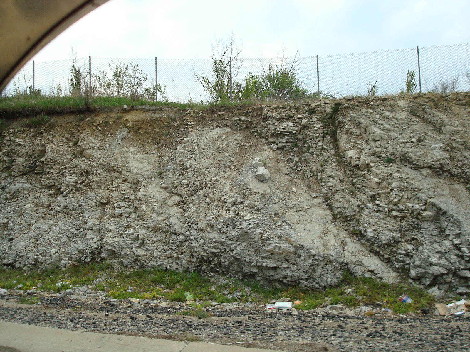
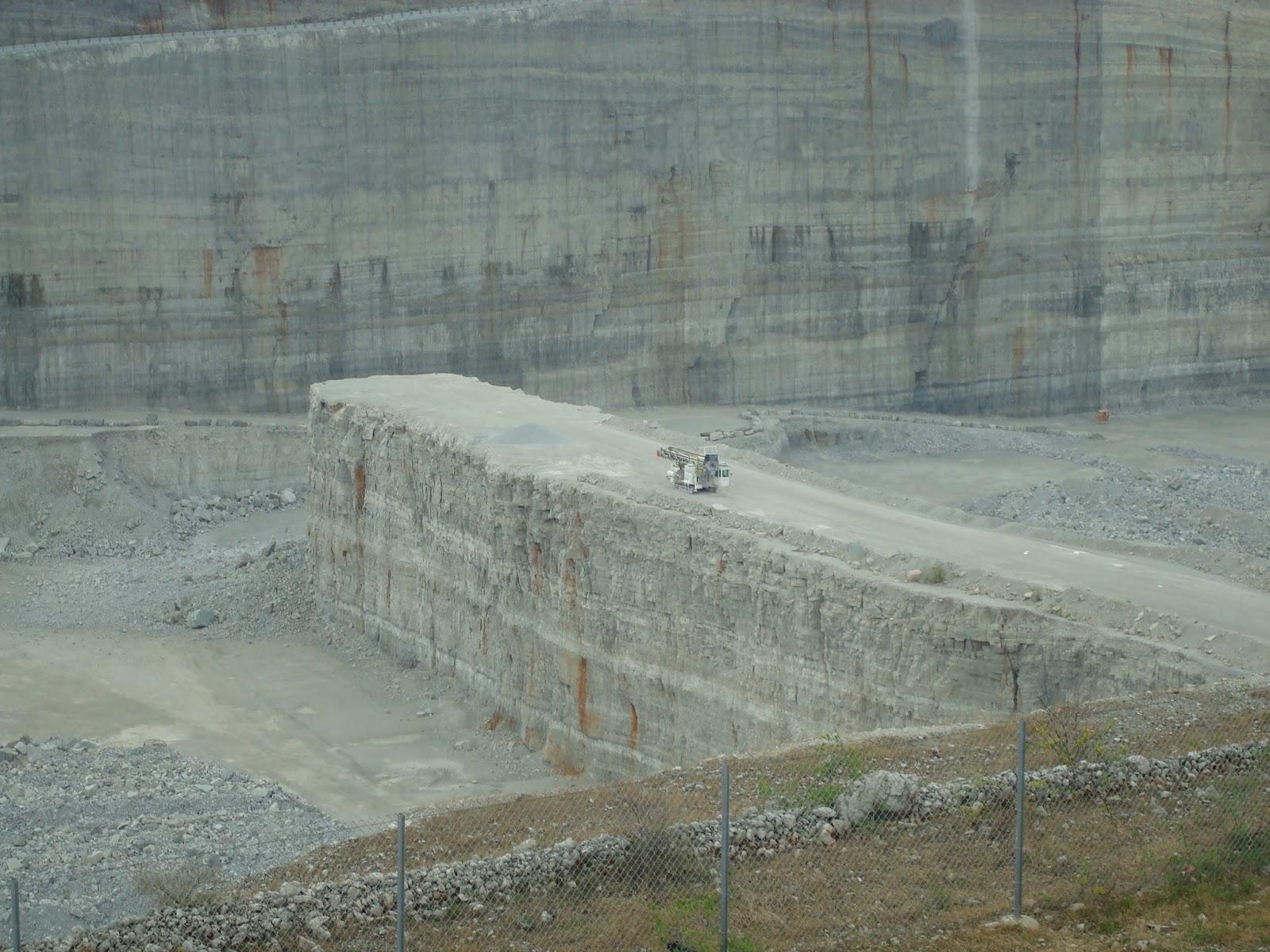
Thornton Quarry shows a magnificent ancient feature, and evidence of, the Calumet Regions history.  The quarry was created over thousands of years.  At one point our area was closer to the equator and covered in warm shallow seas with prime conditions for coral reefs to thrive.  An enormous coral reef at Thornton existed for some time.  Over time when conditions changed the coral reef died and turned into limestone.  As more time passed this giant limestone deposit was chemically altered and became dolomite.  The quarry has been mined since the early 1900's and  continues to be used to this day.
 South side of the Interstate, photo taken from the roadway.
These photos show some of the rock that this ancient coral reef has become.
On the North side of the Interstate.
Also the North side, notice the tunnel large enough for big trucks!
Gives a good idea of the actual size of the quarry.
Another angle of the first photo.
The zig-zagged ramps are how the trucks get in and out of the hole.
Notice in the bottom of the photo it seems as though the water table has been reached!